
.png)

The focus of the wet weather will be over the southeast this week.
The warmth and sunshine (enjoy it while it is here!) will be replaced by a slow moving low pressure system that is set to wander across Tasmania. This has a proper punch of cold air (you can see it by the speckled cloud over the Bight and the southern coastline of WA this morning):
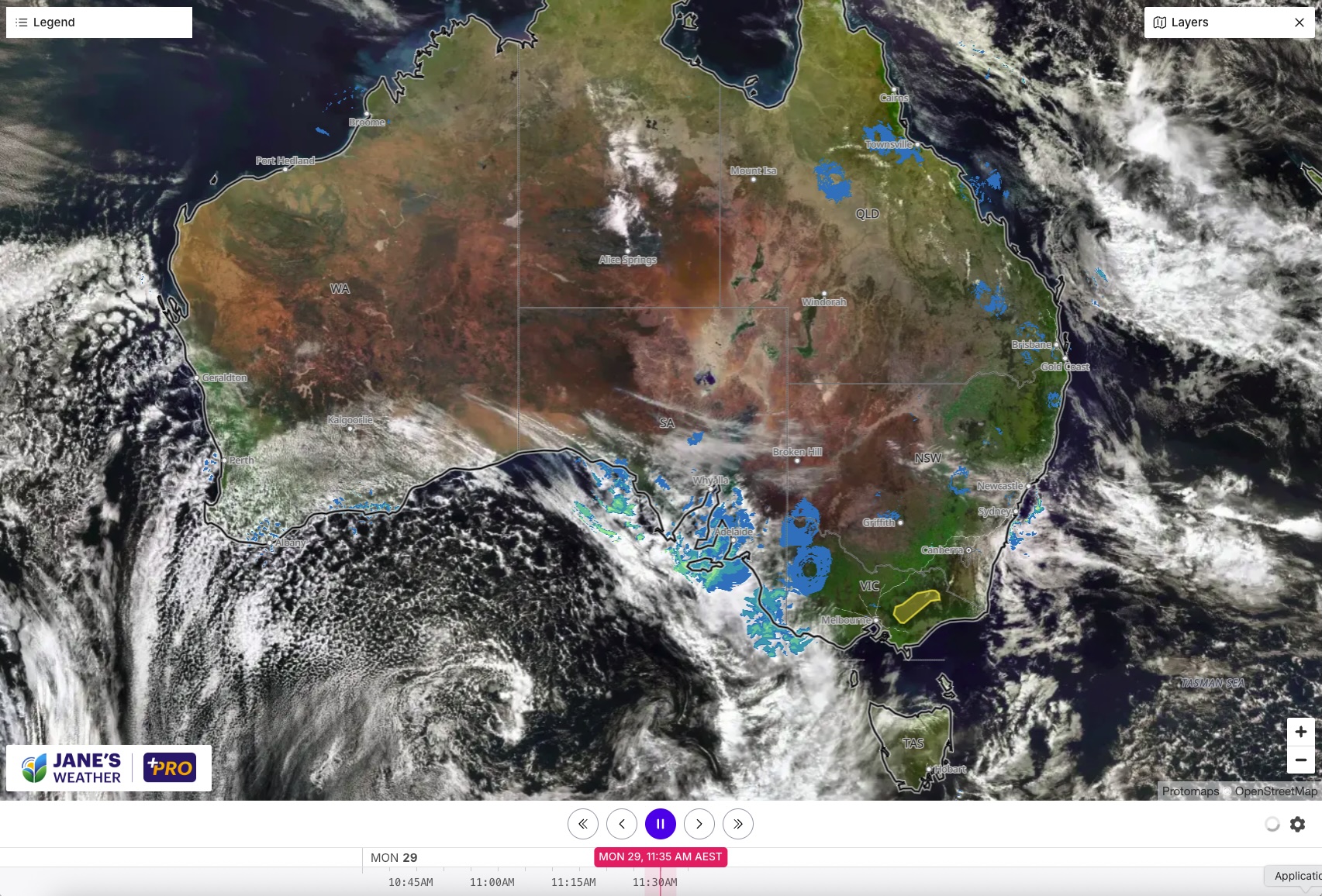
The wandering low crossing nearest to Tasmania means plenty of rain for the apple isle (heaviest in the west). It also means good falls for southeast SA, as well as southwest VIC and western Gippsland (VIC).
.jpeg)
The coldest air is likely to push through on Thursday - that's the chilliest day of the week. There will be a hint of this cold air felt further north in Sydney and even Brisbane as we end the week and start the weekend.
Then it is all about the heat. We'll have our first widespread surge of heat coming down from the north/interior for the season. It affects the west on Thursday, and very slowly moves eastwards, bringing a significant jump up in temperatures to the southeast this weekend.
Behind that may be our next widespread rain system (beginning in the west this weekend), so keep up to date with forecasts as this period comes closer and the models align giving us more confidence in the path and timing of the rain.
.png)

